India’s Postal Index Number (PIN) system is one of the most efficient postal addressing systems in the world. Introduced by India Post in 1972, the PIN code system helps identify locations quickly and ensures accurate delivery of mail and parcels across the country.
While most people use PIN codes daily, many are unaware that the first digit of every PIN code represents a specific postal zone covering multiple states and regions.
This guide explains how India’s PIN code zones are organized and how they map to different parts of the country.
What Is a PIN Code?
A PIN Code (Postal Index Number) is a six-digit number used by India Post to identify specific delivery regions.
A typical PIN code looks like this:
500001
Each digit has a specific meaning:
- First digit: Postal Zone
- Second digit: Sub-Zone
- Third digit: Sorting District
- Last three digits: Individual Post Office
The first digit is the most important for understanding India’s postal geography.
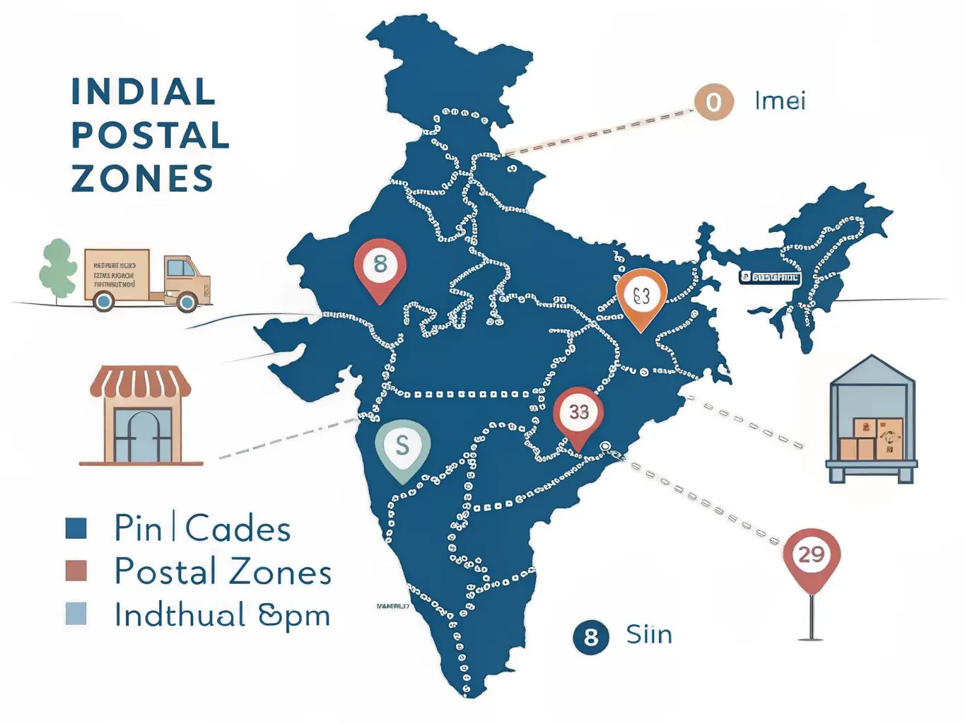
India’s 9 Postal Zones
India is divided into nine major PIN code zones.
The first eight zones cover geographical regions, while the ninth zone is reserved for the Army Postal Service.
Zone 1
States Covered:
- Delhi
- Haryana
- Punjab
- Himachal Pradesh
- Jammu & Kashmir
- Chandigarh
Example PIN Codes:
- 110001 (New Delhi)
- 160017 (Chandigarh)
Zone 2
States Covered:
- Uttar Pradesh
- Uttarakhand
Example PIN Codes:
- 226001 (Lucknow)
- 248001 (Dehradun)
Zone 3
States Covered:
- Rajasthan
- Gujarat
- Dadra and Nagar Haveli
- Daman and Diu
Example PIN Codes:
- 302001 (Jaipur)
- 380001 (Ahmedabad)
Zone 4
States Covered:
- Maharashtra
- Madhya Pradesh
- Chhattisgarh
- Goa
Example PIN Codes:
- 400001 (Mumbai)
- 462001 (Bhopal)
Zone 5
States Covered:
- Andhra Pradesh
- Telangana
- Karnataka
Example PIN Codes:
- 500001 (Hyderabad)
- 560001 (Bengaluru)
- 520001 (Vijayawada)
Zone 6
States Covered:
- Tamil Nadu
- Kerala
- Puducherry
- Lakshadweep
Example PIN Codes:
- 600001 (Chennai)
- 682001 (Kochi)
Zone 7
States Covered:
- West Bengal
- Odisha
- Assam
- Northeastern States
Example PIN Codes:
- 700001 (Kolkata)
- 751001 (Bhubaneswar)
Zone 8
States Covered:
- Bihar
- Jharkhand
Example PIN Codes:
- 800001 (Patna)
- 834001 (Ranchi)
Zone 9
Reserved For:
Army Postal Service (APS)
These PIN codes are used for military communication and logistics.
Why Are PIN Code Zones Important?
PIN code zones help India Post process and route millions of letters and parcels every day.
Benefits include:
- Faster sorting of mail
- Reduced delivery errors
- Better logistics planning
- Improved e-commerce delivery efficiency
- Accurate location identification
Without PIN codes, similar locality names across different states could create confusion and delays.
How To Identify a State From a PIN Code
The easiest method is to check the first digit.
For example:
- PIN codes starting with 5 generally belong to Andhra Pradesh, Telangana or Karnataka.
- PIN codes starting with 6 generally belong to Tamil Nadu or Kerala.
- PIN codes starting with 4 generally belong to Maharashtra and surrounding regions.
This provides a quick way to identify the broad geographical area associated with a PIN code.
Interesting Facts About India’s PIN Code System
- The PIN system was introduced on 15 August 1972.
- India has more than 150,000 post offices.
- The Army Postal Service has a dedicated PIN zone.
- PIN codes help both postal and digital commerce operations.
- Major cities may contain hundreds of individual PIN codes.
Conclusion
India’s PIN code system is much more than a delivery tool. It represents a structured geographical network that helps connect cities, towns and villages across the country.
Understanding how PIN code zones map to states makes it easier to identify regions, interpret addresses and appreciate the scale of India’s postal infrastructure.
If you need to find a PIN code, post office or nearby locality information, use PinCode Info Hub to explore postal regions across India quickly and easily.